Web Development
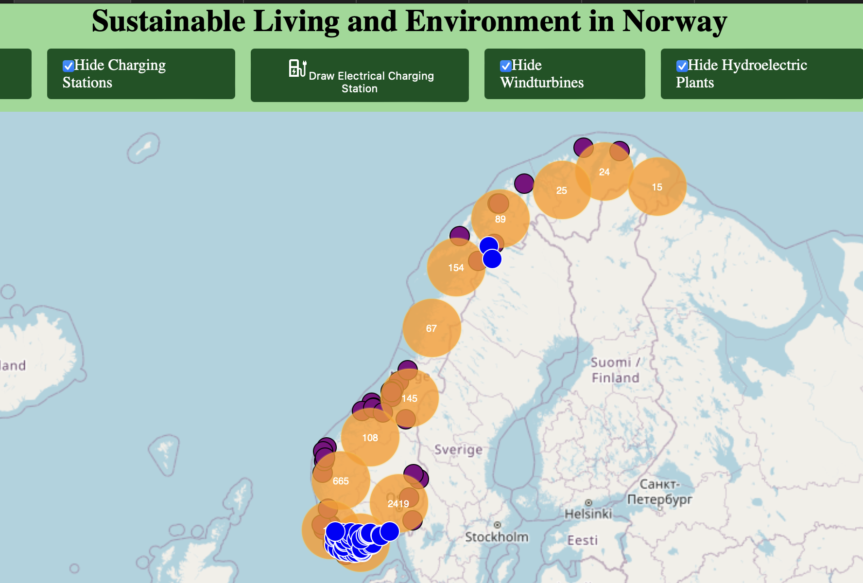
Interactive Map Visualisation
Full-Stack Developer
Unified disparate spatial feeds into a cohesive discovery tool. Built with a modern React stack, serverless APIs, and WebSocket transport to surface availability within seconds.
View live project ↗Challenge
Electric vehicle owners struggled to find up-to-date availability data for charging stations across Norway.
Approach
Engineered a React-based mapping interface backed by WebSocket streams, custom geospatial layers, and intuitive filters for fast discovery.
Outcome
Launched a performant experience that refreshes availability in seconds and scales seamlessly to mobile users.
Highlights
- Live refresh under 2 seconds
- Responsive experience across screen sizes
- Custom visual components for dense data